
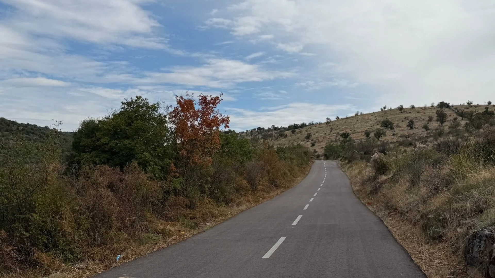
Around the Adriatic Sea 2026: Dubrovnik – Durrës (Albania) – Bari
The second leg of my cycle tour around the Adriatic Sea: the Balkan countries, probably as far as Dubrovnik in Croatia, perhaps even further…

My Prejudice about the Belgian coast I don't have to adjust in a positive sense, on the contrary, it was confirmed doubly so on the stretch of coastal GR I walked down today: poopy and fully studded, except for the stretch of dunes within the Raversheide provincial domain. A 'dune walk' on this stretch consists of a strip of dune of approx. 100 metres wide along a paved path bordered left and right with (incentive) wire. Those wires are sometimes used by anti-social dog owners to hang poop bags from ... Maybe a contest to ter fullest? The dogs themselves do enjoy themselves here at the coast. As some of my photos attest, they are apparently in holiday mode too.
On the sea side of the dune strip, the coastal road with tram and beyond buildings of at least 10 floors high. On the landward side is the old built-up area of the elongated coastal towns. So what can be seen from the Warande watchtower just before Westende, I wonder.... Only the wide sandy beaches are nice, when not too crowded. Because of corona and strong winds, this was not the case now. I passed respectively Mariakerke, Middelkerke, and Westende.
At Newport I walked again past the imposing Western Front monument, but now from a different direction than last year by bike. Then came the bridges over the Brugse Vaart and the Iron turn.
Next to the Yser savings basin where (the former) Bloso has a water sports centre, I had the pleasure on the largest campsite in Belgium to spend the night: almost 1500 pitches. Not really my thing, but after three days of cat-washing with a flannel in a small pot of water, a hot shower was invigorating. And the feet are still doing well!


Newport Westfront monument
Today a nice trip through the polders. First along the banks of the Iron, then next to creeks via small polder roads, with very wide views over the cornfields and meadows. Unfortunately, 98 per cent of the way across asphalt. Sand or gravel roads have apparently been abolished here. The 2 per cent not paved was then the other extreme: an unmade path through tall grass, thistles and nettles.
Google maps showed a historic farmhouse hotel with restaurant after eight kilometres: the Schoorbakkehoeve. I was going to eat something warm there for lunch, as I now eat only cold because I no longer carry a fire with me because of the weight. That was beyond corona: the large establishment was shut tight! Since there were no cafés on the rest of the route - except in Diksmuide itself, of course - and there is absolutely no shade on those polder roads, I settled on my rucksack in the shade of their gate wall to eat a sandwich and 'air out' my overheated feet.
Camping IJzerhoeve is located 2 km outside Diksmuide, some way behind the AVV-VVK Iron Monument, the Valhalla of the Flemish Nationalism. I see it as a peace monument hijacked by fanatical flamingas No more war, a utopia....
The campsite was a breath of fresh air compared to the mastondont campsite Kompas in Nieuwpoort yesterday. A farmstead in the middle of the polders, no busy entertainment and amusements. An oasis of peace and a very friendly manager. Definitely a return visitor if I visit this region again with better mobility.
Especially for my ecological followers (most of them I hope), I start today's draft report with a picture of an information board about a reedfield that all the wastewater of the hamlet of Sint-Jacobskapelle purifies. It's about 20 houses anyway, that's some litres a year. Punishing work from those slender reeds. And absolutely odourless, I was standing nearby.
Next to that village's beautiful church, I saw some Celtic crosses stand. These were not to be missed in this report. A bit of nostalgia about my fantastic cycling trip around Ireland last year....
A little further on, on a small bridge over a canal, I saw two youngsters working with a sturdy nylon rope. A fishing line couldn't possibly be this. They were 'metalfish': using a strong magnet, they scan the mud floor in search of metal objects. Today their catch was nil, but they once dug up an obus, two guns and a number of bullets from the mire. Memories of the gruesome ''great war' that raged here.
From there it was only about 5km to go, first continuing through the polders and then at the Knocke Bridge across the Yser. There is an information panel there about Fort De Knocke nearby, another remnant from the time of the religious wars in the 17th century. Another meeting with the occupying Spaniards who fought against the rebel Ostend Beggars. Nothing remains of the fort apart from the moats.
The last bit I walked along the Ypres-Yser Canal, to conclude my walk at Asbl The Boat With a latte and a thick spit of apple pie. From operator Bart Castelein (the husband of writer Kristien Hemmerechts) I was allowed to camping next to the boat in the car park. After all, there was no WTMG garden or campsite within walking distance from here. Tx Bart.

Ypres-Iser canal sunset
Thursday morning, I was able to resist the temptation after my 'natural (peeing) alarm' around 5:30 crawl back into my pocket and continue pacing. After all, it was already going to be quite hot that day, and walking next to a canal in the blazing sun is no fun.
The advantage of that pee alarm is that I already beautiful sunrises have seen and photographed this trip.
At 7:20 I was on my way. At Merkem/Houthulst does the canal still meander naturally and the tree reflections in the slightly steaming water were very poetic.
At the monument to War volunteers Edward and Frans Van Raemdonck I rested my feet for the first time. The little wall was suitable for a short morning meditation on and for these two brothers who were in this spot in 1917, during the third battle of Ypres, perished in each other's arms. Their spirits are still noticeable there. Such a monument radiates a special energy.
A few hundred metres further on, at the bridge at Steenstraete, stood an information panel that the first gas attack by the Germans had taken place. A monument was erected after the Great War, which the Germans destroyed in WWII because they did not like it.
After a stretch of unpaved forest path, the last section of the canal up to Ypres had been straightened and lined with concrete. The water looked green as a billiard sheet of crucible.
Around two o'clock I was in the uninhabited Welcome to my garden allotment of Sarah near the vests, where I was allowed to spend the night. I dropped my backpack and went to a post point in town (2 km away) to pick up the tent I had ordered in Ostend last Sunday. To return, and for Friday in Ypres, I rented in the Biking Box cyclist cafe a bike.
And in the evening, I wasn't alone in Sarah's allotment either. George The Fraeye, those cycling around Belgium in the other direction, descended from the Belgian-French border to Ypres to meet me. A separate post about him also follows, as he came with a very big surprise
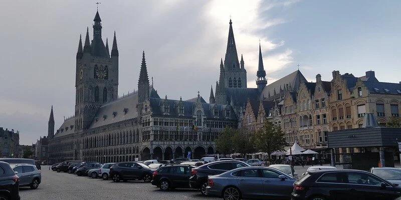
37 degrees, that's some left to trudge around with a backpack in the sunlit but Shady Westhoek. Therefore, I decided to visit the men's shelter on Lombaardstraat. I was given a very warm welcome there by Tine Welvaert, who gave me a general explanation about homelessness and homelessness in Ypres. Tine was visibly emotional as she told those stories.
Then I had to stop by the post office to send my old torn tent home and around noon I checked in at Camping Youth Stadium: showering, washing clothes and updating social media. After five days, I went for another hot meal in town. I heard the 'Last Post' from a distance. The Menin Gate was already full when I arrived.
In the evening it rumbled a bit, but a thunderstorm did not materialise. Even after sunset, in my little tent it was still puffy hot. A small sauna cell... I had to open my inner tent entrances to create more air circulation. Result: my buttocks full of ant bites Saturday morning.
Immediately outside Ypres, walking nodes led me along the quiet Zillebeke Pond and a little further along a war cemetery from 'Railway Dugouts' next to the railway line in Zillebeke. There lie 2048 identified war dead, mostly. Australians and British.
I then traversed the provincial domain Eel Brook and passed by an egg artwork of Koen Van Mechelen with numerous clay figurines commemorating the WWI war dead. A passerby told me that initially, the public was allowed to take a figurine home to honour a deceased person at home, but people came to collect wheelbarrows full of figurines, some of which subsequently ended up in the garbage. After that, the artwork was made inaccessible.
Round 1860 tried to create a canal from Ypres to Komen to be constructed right through a hillside. There was 16 locks built to bridge the difference in height, but these were never used as the canal's walls did not hold up and here and there collapsed. Now only the bed of the canal is still visible, but it has largely grown shut. A little further on, I was able to connect to GR5a.
In the afternoon, it again took me along beautiful but very hot field paths where there was hardly any shade. Fortunately, I was able to take a breather and air my feet in the shadow of an electricity building, sitting on my rucksack.
Via the roadway, the distance Ypres - Menin is 17 km. I had counted on a third more via the GR, but the route ended up being 11 km longer. I hadn't anticipated that; along the way, I visited residents to get my need to have water bag refilled. Also, I would arrive in Menin too late to buy food. Tavern De Zunnewijzer in Geluwe was open, so there I feasted on a salad with warm goat cheese.
I only arrived at my Welcome to my garden host family Erwan and Yasmine.

Koen Van Mechelen artwork
First across Menen, where fortunately some food shops were still open in the town centre on Sunday to buy much-needed provisions for the road. I then followed the GR5a. To begin with, a long stretch via the left bank to Lukewarm, and then on via country lanes and small asphalt lanes until 2 km before Rollegem. Those last 2 km (I thought) I followed a calm regional road.
In the centre of Rollegem, I first wanted to go into a pizzeria eat something before going to my host family. That was beyond corona: eating inside was not allowed more, just pull out. No sooner said than done, I thought I had another 600 metres or so ahead of me. However, the Tombroekstraat turned out to be a very long street, the GPS indicated 1.9 km to the home of Josephine Baele and Clément. I hadn't expected this, so I first allowed my gradually overheating soles of my feet a quarter of an hour of air and rest on a bench in front of the library.
In the end, those last few kilometres were not too bad, through the gently rolling landscape in the beautiful light of the evening sun. I was the first Welcome To My Garden guest of Josephine and Clément.
The second leg of my cycle tour around the Adriatic Sea: the Balkan countries, probably as far as Dubrovnik in Croatia, perhaps even further…
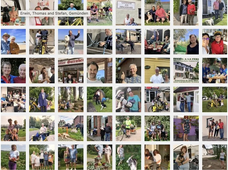
On my travels, I meet so many friendly, helpful and hospitable people.
They deserve a hall of fame.


