
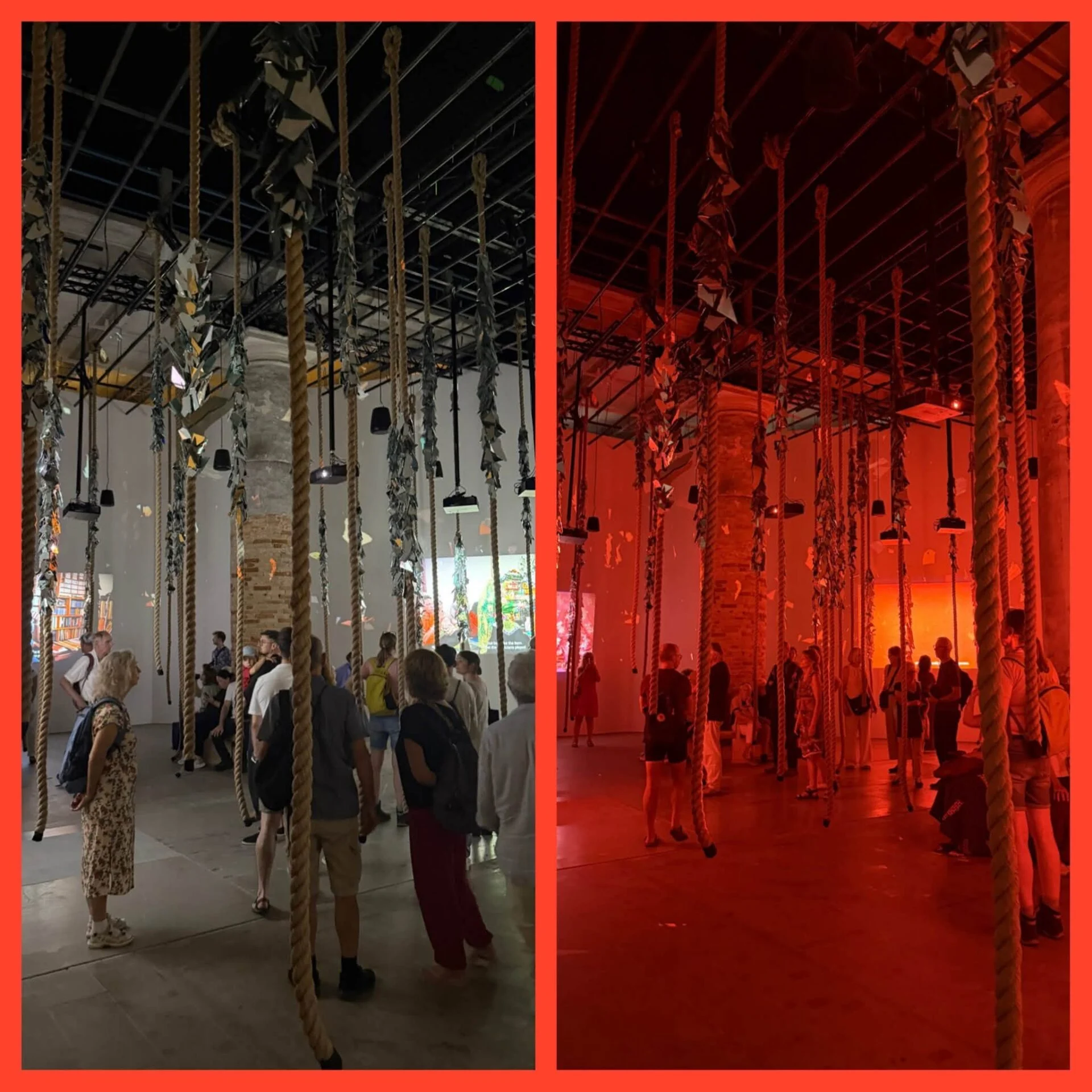
Around the Adriatic Sea 2026: Biennale + various exhibitions
The first leg of my cycling tour around the Adriatic runs from Acquaviva Collecroce in Molise to Trieste, near the Slovenian border.

In the Tesco supermarket of Ullapool I seriously had to stock up on food, as the next supermarket is not until Thurso, 220 km or four cycling days away. As a result, I had to go into the mountains heavily loaded.... Along the way, there are liquorice seasoning, but these are usually sold out by evening.
The predicted 60- to 90% rain probability was not too bad. Except for a few minute splashes, it remained dry all day. The clouds combined with the mountains also provided a dramatic scene on which you never get bored. All along the route I had to contend with a strong headwind, which aggravated the prolonged climbing. But thanks to that wind, no midgets, so that's a blessing too.
For now, the landscape here is less 'historically charged' than on the Hebrides or in Ireland. I am on a geological 'Rock route'. At regular intervals there are info panels on how the landscape has formed here over the centuries by, among other things. melting and shifting glaciers at the end of the last ice age, 12,000 years ago. 500 million years ago, Scotland lay at the equator and was still connected to Greenland, the sedimented rocks teach us - or rather the geologists who know all those rocks.
In a broken telephone box hung a hilarious announcement. It is noted that the phone is no longer being used, therefore the phone box will soon be removed. Well, if you don't maintain the infrastructure, it becomes useless.


On the way to Inchnadamph
74 km and 950 altimeters with constant headwind wind force 4. Even on a plateau where it was relatively flat, I had to keep pedalling briskly. In that vast and wild nature, with the roar of the wind in your ears, you feel like a toy at the mercy of the natural elements. Imagine if a heavy thunderstorm suddenly erupted there.... Actually, because of the wind, this ride was a little too hard. Taking a few less kilometres on my front fork tomorrow....
Just beyond Inchnadamph I first passed the ruins of Calda House (main photo), built in 1726 by the MacKenzie clan. That 'mansion' only had a short existence of 11 years: in 1737, the building burned down under mysterious circumstances. A little further on, on a small peninsula in Loch Assynt, is located Ardvreck castle, planted in 1590 by the MacLeod clan. Those same MacLeods were driven out 1672 by the MacKenzies who would later build the Calda house. Could the MacLeods have retaliated by setting fire to the house? There was some serious fighting between the various Highland clans in these parts...
Today Scottish weather at its worst: from 11am, just after I returned from a visit to Smoo Cave, a cave already used as a hideout by the Vikings, the nonstop casting and storm clouds.
On the barren plateau I had to ride up and across, I was again facing the NO wind at gale force. Even on fairly flat stretches, I had to 'pedal' nonstop in my smallest gears, and every slope or so I had to push my bike, there was no way to stand up to that wind.
Stopping to rest was not possible. Against this rain pressure, my rain gear could not withstand. I was soaking wet and would cool down too quickly at a rest. Keep on 'pedalling' was the only option, hungry or not.....
In the morning I had gone to Kyle of Tongue hostel and campsite called, but it was full. Fortunately, camping is also possible, and in this doggy weather, campers are allowed to use the hostel's kitchen and seating area. So I was warm inside all evening, but had to Night back the storm in to spend a night trying to sleeping in a constantly flapping tent.
Tomorrow the weather remains the same and wisely take a day of rest. Tomorrow night the hostel does have a bed free, so no flapping tent. Tomorrow morning I will freshen up all my wet camping gear to the 'dry room' to dry, and then hope for slightly better weather Sunday.... Monday should be dry again.
Outside Smoo Cave few photos today, in that storm, photographing with a smartphone was not an option.
August 10: the fog has lifted, the hills on the opposite side of the loch are visible again, the sky moisture is staying out and all my wet clothes and tent equipment have managed to get dry thanks to the puking infrastructure of Kyle of Tongue Hostel and Campsite.
Tomorrow on the road again! Thank you, hostel, for your hospitality to and empathy with tent campers in extremely bad weather!

Cove Smoo Cave
The wind turned NW, so I usually had him left rear. A big difference from the previous days: no need to push the bike at all, even though there were again tough and long hills in between.
Today I was also able to indulge in my favourite hobby again for a while: Celtic crosses and a Pictish stone going to view and energetically experience the cemetery of Clachan. Clach means 'stone' in Gaelic. Before it parish church, which to St Columba ordained was and which now serves as a museum, stood here, there was 'worshipt' at the beautiful Pictish stone from the 8th/9th century with a Celtic cross engraved on it. That cross refers to the presence here in the 6th century of the Irish St Columba. That Columba is becoming my constant travelling companion, I came across it so many times on my route in Ireland and in Scotland. Wonderful, 1,400 years ago this guy was already trekking around in this inhospitable nature To spread its message among the local Picts. That's not minus respect. The two intertwined birds at the bottom of the cross are probably swans, which because of their steady life partner symbolised fidelity, or doves, which for the Picts symbolised friendship. Columba apparently did not Christianise with sword and lance, as the Spaniards did 900 years later in the 'New World'.
I am staying at a campsite with an Inn and just saw on the weather report that it will be 4° tonight. Not exactly a temperature for outdoor barbecues.

Near Melvich
Another fairly long climb followed after Melvich, and then changed the landscape very quick of character. From a seriously hilly environment with peat bogs, I suddenly found myself in a gently undulating agricultural landscape justified. More pleasant for the legs, which were now much less taxed, but much less photogenic than the dramatic mountains and lochs. I almost imagined myself in northern France, except for the walls around the meadows, which were now made not with heavy boulders, but with flat upright flagstones from this region.
During the second part of the drive, after Thurso, some of the seascapes the revue. As it was a clear day, the island were Stroma and further down the Orkneys easily visible.
Tablet mouse stolen?
I was lucky just today to pass another larger town like Thurso, because last night something very bizarre happened to me. The Bluetooth mouse with which I had been working on my tablet all evening in the pub near the campsite, was suddenly vanished after I went to the bar to order something. There were not many people left in the café. We searched everything, but in vain. Even this morning, the cleaning lady did not find it. The only thing I can imagine is that young children have zipped along the mouse when they went outside, and that the parents haven't noticed (yet). Without a mouse, I can't do much with the tablet, but luckily there was a computer shop in Thurso.
On the road in Castletown I passed a dilapidated flagstone factory which dated from 1825. It was the first factory in County Caithness, a region that became one of the largest producers of flagstone in the 19th century due to the roadworks following the industrial revolution. This lasted until WWI, when switched to concrete for paving. By 1920 were all flagstone factories in Caithness, which once employed 1,000 workers, all closed. Many workers emigrated because hardly any work could be found in this region.
In the flagstone factory, by the way, the workers also barely earned the salt on their patties, which they then had to buy from the factory shop, moreover. The ships carrying away the flagstones came back loaded with foodstuffs for the factory shop, which were sold there, of course at a good profit, to the workers. Again 'cash register cash register' for the patron, this on the backs of his workers A tale of double exploitation which was commonplace everywhere in 19th-century capitalism....
When I had just set up my tent on a small campsite just before John O'Groats - the northernmost point of mainland Scotland - it was already pouring over the ocean, with a beautiful evening sky as a result.
Tomorrow morning another five kilometres or so to drive to the northernmost point before the sponsor photo, and then plunge to Kingston upon Hull for the ferry crossing to Rotterdam. About 900 km to go, and then 100+ wonderfully flat kilometres from Rotterdam to Antwerp.
After cycling directions west, north and east, with south now comes the end. My trip has flown by, and that produces a double feeling. The luxury of home beckons, but always being on the road is also enticing

Thurso - John O'Groats route
The first leg of my cycling tour around the Adriatic runs from Acquaviva Collecroce in Molise to Trieste, near the Slovenian border.
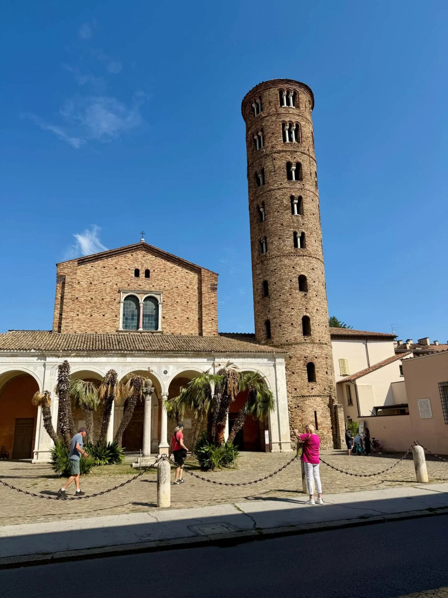
Photos of cities The photos are listed in reverse chronological order. Information about the location is included in the title and/or description. Eva Van Tulden


