Around the Adriatic Sea
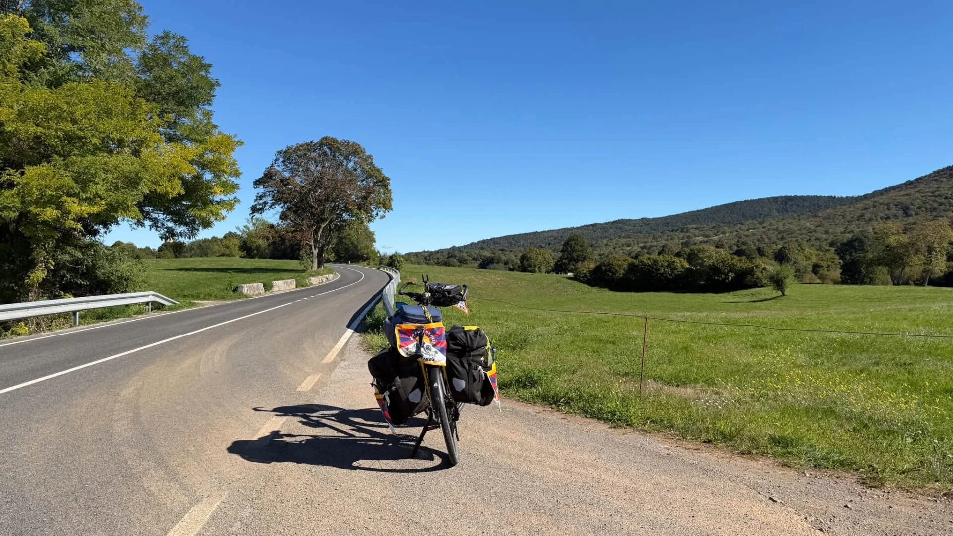
The challenge: cycling round the Adriatic Sea. Will I manage it before the weather in the Balkans gets too rough? I’m curious to find out myself….
For today, I had planned a circular hike to the top of the Campanilles hill (572 metres) planned. I had mapped out a route on Komoot and at 9:45 I set off with daypack and hiking poles. The trek was 17 km and was rated 'tough' by Komoot. It gets dark here at 6pm, so I brought my headlamp just to be sure. And a power bank because my old phone drains quickly while navigating.
After 5 km along the coast and through olive groves, the path began to climb steeply. At the 'Font de la Parra' spring - which was bone dry - I had to turn away to Campanilles. Another two kilometres, so I planned to have my packed lunch there.
That was beyond my reckless stupidity. The signage on the hilly climb was no longer good. At one point, I found myself at a fork without the familiar yellow-and-white markings. The path on the left seemed to dive straight into a dark gorge. To the right it went uphill on a cobbled path and there I uncovered some cairns. So I turned right. After a few hundred metres, the path ended in a wide and very steep strip of cobbles.
I got a bit hungry and decided to eat something before starting this. I checked on Komoot whether I was still sitting correctly, because actually I thought that cobbles were dangerous and irresponsible to chase a hiker across. When the pebbles start sliding under your feet, you're off... Komoot didn't find my correct position and according to the map I was close to the path. So I climbed on, as much as possible at the edge of the gravel to hold on to bushes, and often on all fours when I had little grip. I knew: this is dangerous.
I should have turned right at my lunch spot, but the cairns higher up made me suspect I would get back on a more passable path there. Nothing of the sort. After a hundred metres or so of climbing over crushed rock, I reached firmer ground and, working my way through scrub and dwarf stone oaks, made it to the ridge. There I expected a path... second time, nothing of the sort. Just pointed rock pinnacles that I had to pass while scrambling. On the ridge, though, I was treated to a nice panorama all around, with a view of the peninsular municipality Peñiscola in the north.
On the ridge, Komoot had back range and I saw that the local GR trail was two altitude lines lower! I was way too high and should probably have followed the left path at the fork without route markings. I had to try to descend, but to make matters worse, the mountainside below me was overgrown with dense scrub. On some stretches, I got completely tangled in spiteful thorn twigs that snaked between gorse bushes or holm oaks. At times I was closer to crying than laughing. Meanwhile, it was also after 1pm and I had only covered a third of the entire route. When I suddenly noticed the path after about half an hour of toiling through the thicket, the relief was great!
Twenty minutes later, I was at the top of the Campanilles, where four Spanish hikers were sitting, walking in the opposite direction. I asked them info about the route to decide whether to continue or retrace my steps, along the right path that is. I didn't feel like being in those hills in the dark, even with a headlamp. There were no really difficult sections left in the trail, and after four kilometres it even became a gravel road suitable for cars. I walked on until a fork where I had a choice: follow the easy path for 5 km, along the Santa Lucía hermitage to Alcossebre, and then another +3 km along the coastal path to the campsite. Or a 3 km descent to the coastal path, and then another two kilometres of coastal path.
I chose the shorter option and after a few hundred metres of gravel road was treated to a tough descent along a narrow path. Here I also briefly got off the path, but this time I turned right when I saw it was getting too difficult. Providence was now very kind to me! As I approached the spot where I had missed a turn, I saw the orange bag with my mobile phone tripod dangling from a branch. It was in a side pocket of my backpack and the loop had hooked itself without me noticing anything. What luck.
As dusk began to set in, I was on a two-track road in an olive grove, and just under half an hour later I was in the campsite. I didn't need the headlamp.
In the shower, I noticed my legs were seriously scraped. But my trekking trousers had held up.

The challenge: cycling round the Adriatic Sea. Will I manage it before the weather in the Balkans gets too rough? I’m curious to find out myself….

From 2026, Eva will be raising funds for the International Campaign for Tibet Europe, the world’s largest Tibetan advocacy organisation.